Making a terrain map with LiDAR data
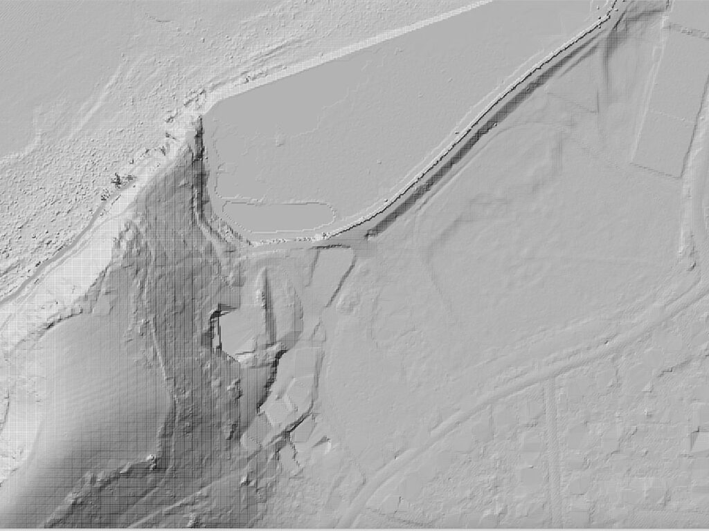
Making a terrain map with LiDAR data May 28, 2025 4:38 pm Chris Bodle Using free digital height data to work out where to locate the sail and explore the topography of the surrounding landscape. Key to the concept of Flotilla is that the sails are located in locations that could potentially be inundated by […]